No blog today, it is career day.
Read update

Forecasts and weather updates from Beau Dodson.
Strong southerly transport winds and deep mixing will lead to great smoke dispersion today. A very good chance for a wetting rain is forecast this evening as a line of thunderstorms, some of which may be severe, move across the…
Read update
Today will be mainly dry, warm, and breezy. The combination of strong gusty winds, low relative humidity, and dry fuels will make for elevated fire potential across portions of southeast Missouri and southwest Illinois this afternoon. The…
Read update
Dry weather will persist into early afternoon. Then showers and thunderstorms are forecast to progress eastward across the area from late this afternoon into tonight. There`s a chance that scattered showers and thunderstorms may redevelop…
Read update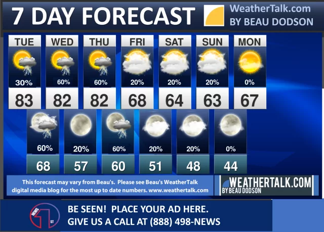
South winds and mixing heights 4000-5000 ft should lead to good smoke dispersion by this afternoon. Rain chances exist along the I-64 corridor this evening. Better dispersion conditions are forecast Tuesday as winds pick up out of the…
Read update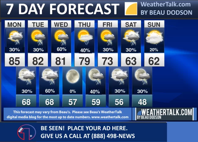
Elevated fire weather conditions will be present in the Missouri Ozarks on Friday due to RH`s dropping into the low to mid 20 percent range along with northwest winds gusting 25 to 30 mph. Elsewhere, deep mixing will be in…
Read update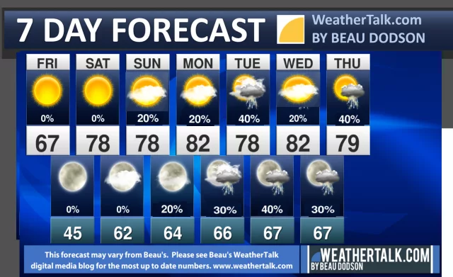
Showers and isolated thunderstorms continue through the day today, exiting the region by this evening. Northwesterly wind gusts of 30 to 40 mph are possible today. Lingering breezy winds continue Friday ahead of very warm and dry weather…
Read update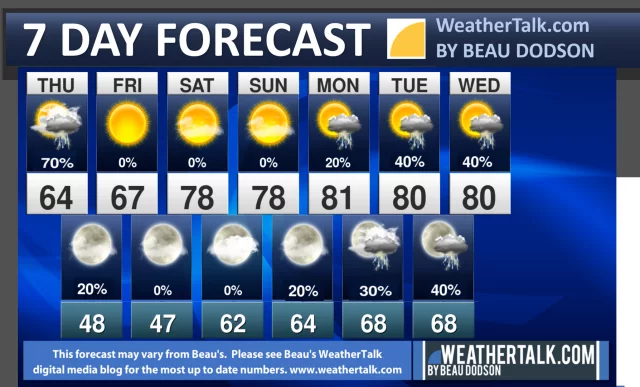
Widespread showers and scattered thunderstorms will bring 1-3" of rainfall to the region through Thursday. As the rains end from the west Thursday, very gusty northwest winds will develop. The gusty northwest winds will continue into…
Read update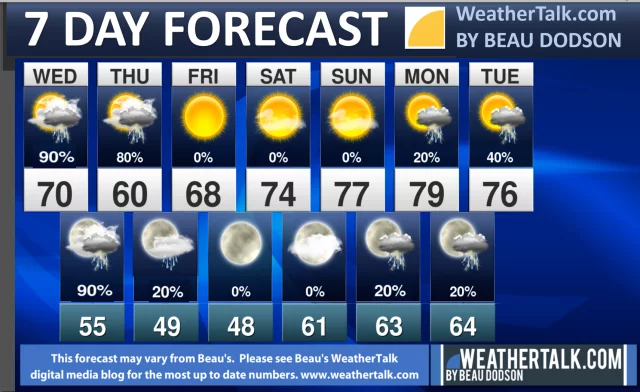
Showers and thunderstorms will increase across the region through Wednesday, and then taper off from west to east on Thursday. Most locations will see between 1 and 3 inches of rain. Very strong west to northwest winds are expected…
Read update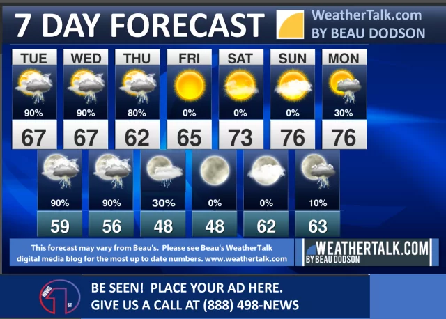
South to southwest transport winds between 10-15 kts with high mixing heights around 5 kft AGL will lead to good dispersion today. RH values between 20-25% are expected across the Ozark foothills in the afternoon. Low mixing heights and…
Read update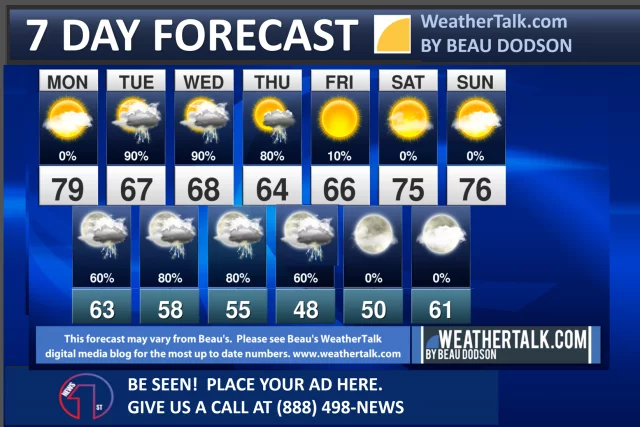
South to southwest transport winds between 20-25 kts and mixing heights around 2.5-5.0 kft AGL will lead to good dispersion today before thunderstorms develop in the afternoon. A wetting rain is possible locally where the strongest storms…
Read update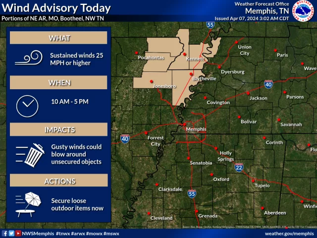
Fair to good dispersion is forecasted today with RH values ranging from near 30% in the Ozark Foothills to around 50% in the Wabash Valley. Meanwhile, dispersion on Saturday will be mainly poor due to lower mixing heights and lighter…
Read update